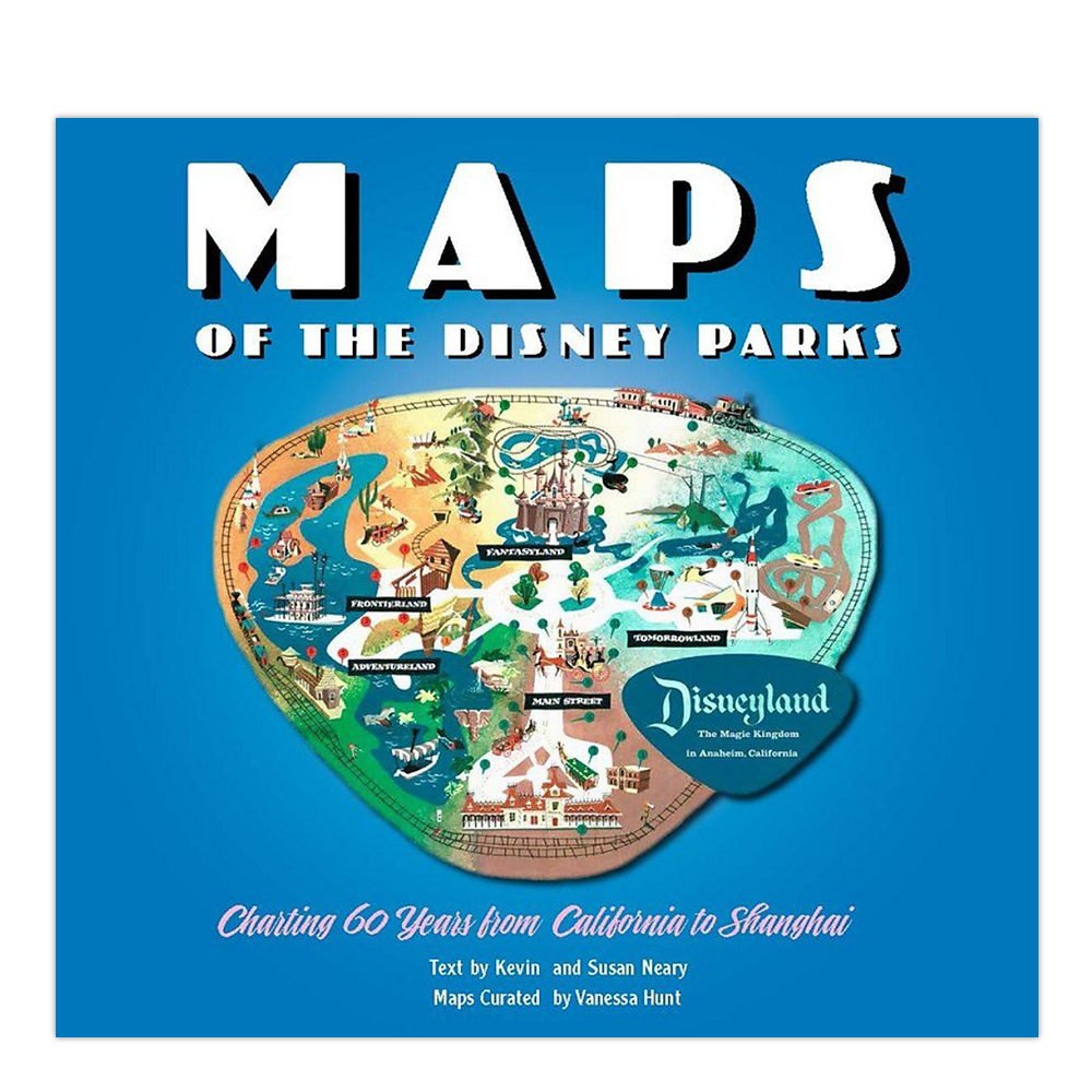
Maps of the Disney Parks
Charting 60 Years from California to Shanghai
It all started with a map. . . . Maps of the Disney Parks are more than just atlases used by guests to find their way to Big Thunder Mountain Railroad. They are snapshots of a place and time, relics treasured by collectors, and gorgeous pieces of artwork. In fact, it was a map (imagined by Walt Disney and drawn by Herbert Ryman) that was used to sell the idea of Disneyland to investors. Unfold this book of beautiful maps from when the very first Disney Park opened in 1955 right up to today. Discover details on how and why the domestic and international parks have changed over time, and enjoy sixty years worth of skillful creativity.
Published Date
October 18, 2016
Format
Hardcover
Author
Vanessa Hunt
Publisher
Disney Editions
ISBN
1-484715470
ISBN-13
978-1484715475
Edition
1st Edition
Pages
144
Country
United States
Language
English
Dimension
11.25 x 12.0 x 1.0 Inches
Weight
3.08 lbs
Condition
New
Library Code
Category(s)
EXPLORE MORE